So the geocachers I’ve relied on to provide the link to the USGS real time data about the elevation of the Great Salt Lake have rejiggered their site.
So here’s the link I’m using to see if the Spiral Jetty is visible, submerged, or high and dry.
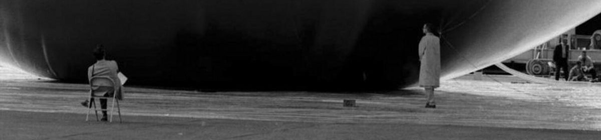
The Jetty’s elevation is 4,197 feet above sea level, so with the lake level at 4,194, I suspect it’ll be high and dry tomorrow.
update: it was, and it’s spectacular, black-on-white, with the shimmering water just off the outer edge of the spiral. Also, we got a flat, which I had to change at the Jetty, which sucked. The flat, of course, not the Jetty.
USGS Water Surface Elevation, Great Salt Lake near Saline, UT [waterdata.usgs.gov]
Previously: lots of Jetty goodness on the greg.org
Skip to content
the making of, by greg allen