Gather ye screengrabs while ye may, I guess.
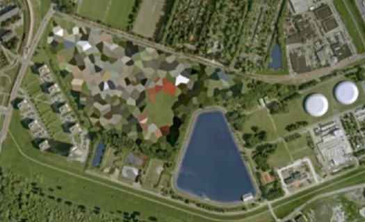
The camo-obscuring of sensitive sites on Google Maps by the Dutch Intelligence Service (MVID) is a dynamic process. One of my favorite sites I found last November is a complex along the Maas in Rotterdam. The polygonal camo zone is surrounded by an equally artificial-looking geometric landscape:
But when I pulled up that old post, the embedded Google Map showed a new, unobscured image:
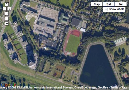
Thereby revealing the existence of a previously classified football field.
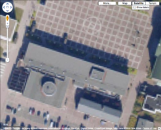
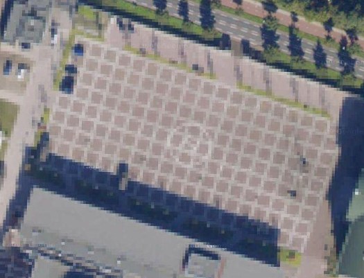
But wait, the image isn’t unobscured after all; it’s just obscured at a higher resolution. Oh no! It’s Dutch Camo 2.0!
My project just got overlaid with a thick, historicizing blanket of obsolescence. Which, for a bunch of Dutch landscape paintings, is probably just as well.
And I must say, I DO like what they’ve done to that helipad-equipped grid.
Skip to content

the making of, by greg allen