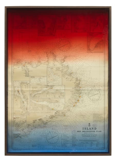
This 2012 map work was posted to Olafur Eliasson’s social media this morning. It’s one of at least three vintage maps Olafur framed behind handmade, gradient glass. They feel like a confluence of subjects and materials he’d become very familiar with.
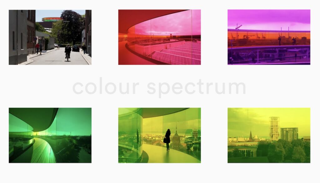
He’d just spent five years soaking in the rainbow spectrum glass of Your Rainbow Panorama, which had been installed on ARoS Aarhus in 2011.
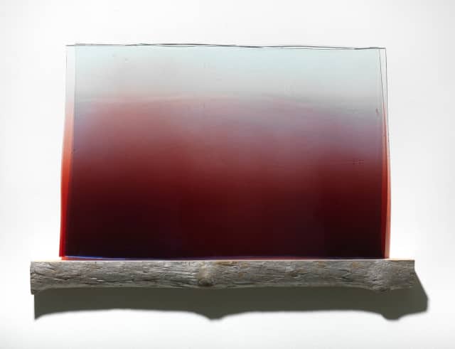
He’d begun making a series of wall-mounted sculptures called Your Emergence by layering sheets of handmade glass in various shapes and shades on little driftwood shelves. Whether these were physical incarnations of the watercolors he was making, or vice versa, they were of a piece with his longstanding interest in the phenomenon of seeing.
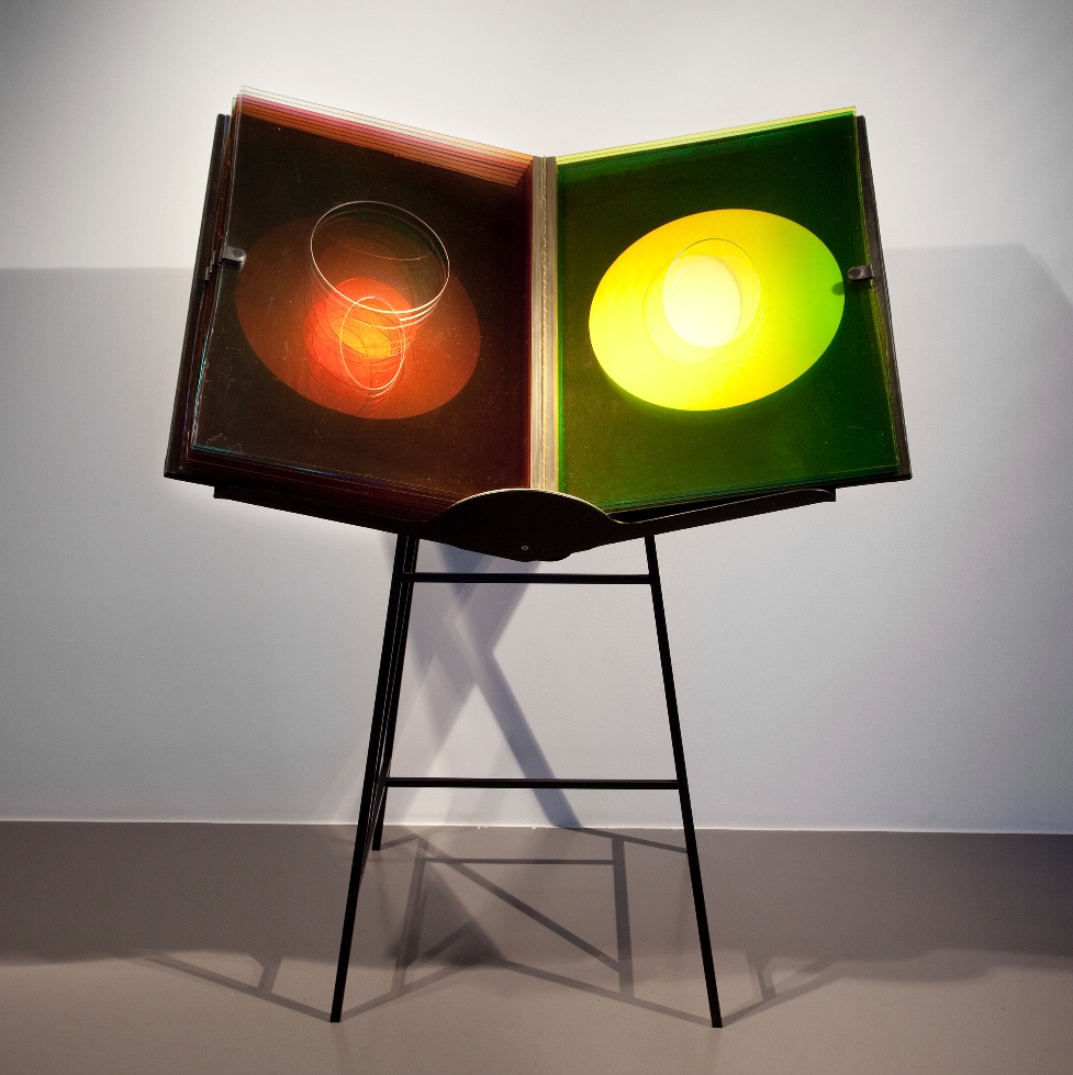
Seeing these prints behind glass suddenly reminds me of A View Becomes a Window, the extraordinary glass book Olafur made in 2013 with Ivorypress, the Madrid artist book publisher founded by Elena Ochoa Foster, Norman’s wife. But that was still to come.
These maps were not the first time Olafur used found images—and found cartographic images, for that matter—in his work. The Cartographic Series (2000-2004) used photogravures of aerial photos from the National Land Survey of Iceland. There was also that time in 2005 when the Icelandic paper put out a special issue of The Jokla Series, Olafur’s own aerial photos tracing the route of a river that was threatened by an aluminum mill. [The mill won.] But of course, all of Olafur’s photos are maps of a sort, even if it’s just of his own journeys, or of his existence.
It also occurs to me that it matters that all three vintage maps Olafur used are bathymetric surveys, among the earliest systematic efforts to map the sea floor around Iceland. Lines of numbers radiating out from the shore trace the routes of the ships as they made their measurements.
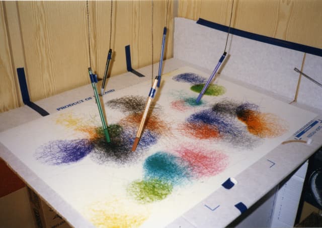
It makes me think of an early series of works Olafur made with his father, Elias Hjörleifsson, who was an artist and sailor. Elias suspended pens over paper in the cabin so they traced the motion of the boat through the water. One is titled, The wave moving on the sea between Greenland and Iceland. And so a project about mapping the bottom of the sea connects back to an earlier project to map, fantastically, the surface of the water. But again, the map is not of the wave on the sea, but of the boat on the wave.
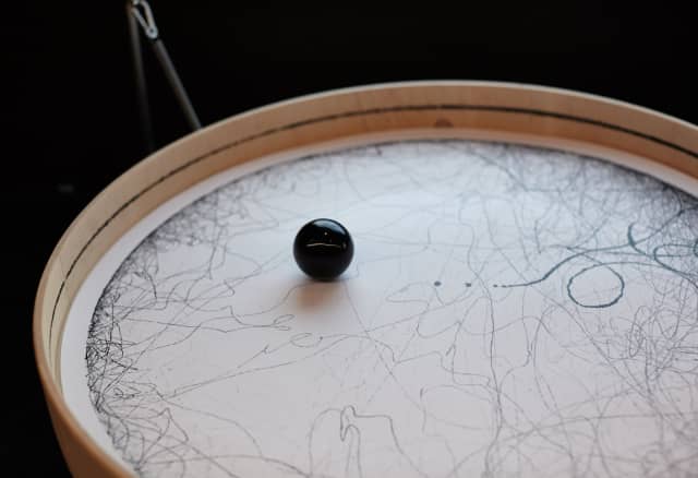
Another technique Olafur and Elias experimented with was covering a ball with ink and letting it roll around on a piece of paper for a set amount of time. Olafur returned to this in 2013, when he sent a spring-mounted drawing machine to Station to Station, an exhibition-on-a-train that crossed the US. The resulting drawings were shown as Connecting the country with a line. There are videos of the machine at work, including a restaging on the train in Berlin.
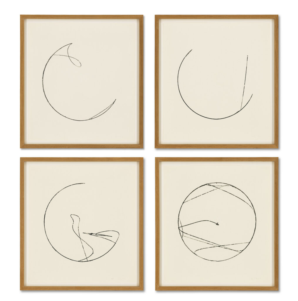
[Oct 2023 update: Oh hey, a group of four pendulum drawings from 2003-2004 just showed up at Christie’s in London. The earlier ones I first saw, from the late 1990s, were square, not round, but it’s clearly been a technique Olafur’s kept exploring.]
Meanwhile, the mapping continues.
Previously, related: What Happened in Zug Does Not Stay in Zug
Aarhus Madness
