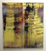
You may recall how Google Maps recently changed the polygonal camouflage on one of the Dutch landscapes I was using for my painting project.
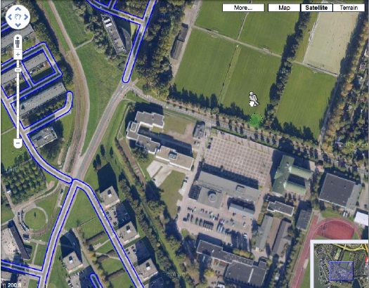
I was back there, getting a clean shot of the nicely distorted grid plaza--the site belongs to the Koniklijke Marine, the Royal Navy, and is apparently the home address for the Royal Marine Band--when I saw that the Streetview icon was activated. Looks like Google's camera cars reached the football field-filled outskirts of Rotterdam.
But not all of them. The available imagery shows that Google is excluding all street-level imagery from around the camo'd compound. The previous official explanation for camo-obscuring intelligence-sensitive sites was that the Dutch government claimed jurisdiction to censor aerial photography, but not satellite imagery. I guess there's another law that forbids street-level photography from public roads, too? Yes and no.
A quick stop at the ur-Dutch Camo Landscape, the Noordeinde Paleis in The Hague, shows that Streetview is unavailable for its entire perimeter. But the other camo'd complex, a Royal Garage or something, to the northwest through the park, shows up just fine. The south perimeter of that giant, cut-n-past camo blob is just fine, which makes me think that the building being camo'd--I think it's the HQ of the Defense Ministry itself--is on the next street up, which is, indeed, blocked. Unfortunately, Noordwijk ann Zee, the beachfront town that is the site of my favorite inexplicable, airdropped camo blob, has not yet been added to Streetview.
Update: In actual governmental/military news, the Dutch coalition government just collapsed in the face of growing opposition to extending the deployment of 2,000 Dutch troops in NATO's operations in southern Afghanistan.


