This just in from the greg.org Department of Stunningly Beautiful Digitized Maps of The Netherlands:
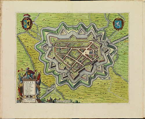
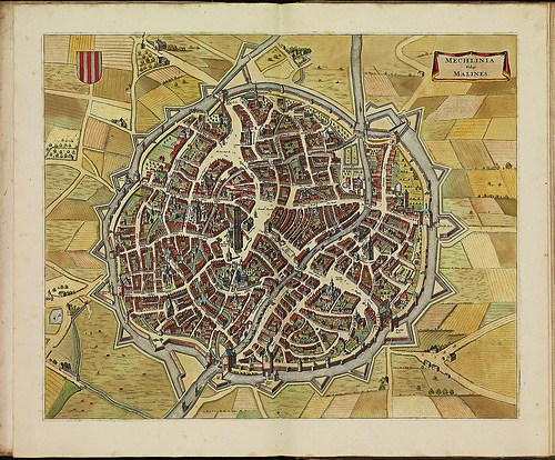
Bibliodyssey has some highlights from the National Library of the Netherlands' fresh upload one of the rarest and most beautiful atlases in history, mid-17th century Dutch cartographer Frederik de Wit's Stedenboek, or Book of Cities.
Who knew that the Dutch had such a long, rich, aesthetically awesome history of defense-related polygonal alterations of the urban landscape?
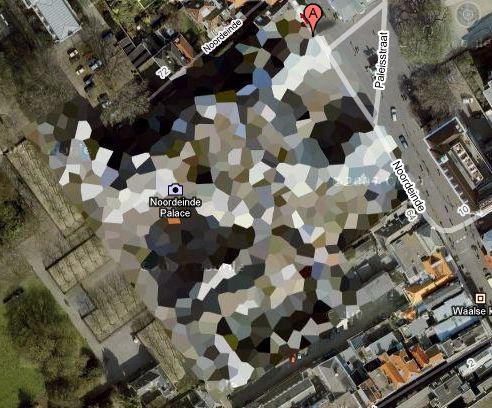
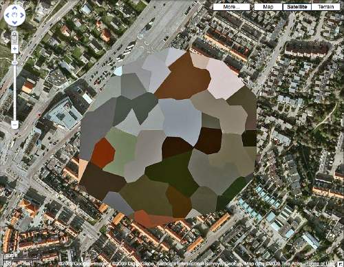
At least maybe now we have some idea where that crazy camo blob in Nordwijk came from:
Stedenboek [kb.nl]
Dutch City Atlas [bibliodyssey]